|
|
|
| Maps > Globes and Multi-continent > Western Hemisphere |
A collection of political, physical, climate, relief, and early exploration maps of the Western Hemisphere for use in the K-12 classroom.
|
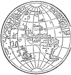
New World From Lenox Globe,
1500–1515 |
|
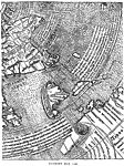
Ruysch's Map,
1508 |
|
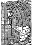
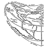
Stobnicza's Map of the New World,
1512 |
|
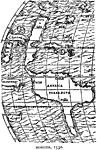
Munster's Map of Western Hemisphere,
1532 |
|
Munster's Map of Western Hemisphere,
1540 |
|
Gilbert's Map of Western Hemisphere,
1576 |
|
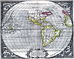
The New World,
1587 |
|
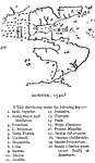
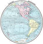
Western Hemisphere,
1901 |
|
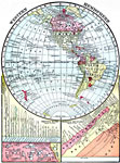
Western Hemisphere,
1902 |
|
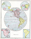
Western Hemisphere,
1906 |
| Next | Last |
| Maps > Globes and Multi-continent > Western Hemisphere |
Maps ETC is a part of the Educational Technology Clearinghouse
Produced by the Florida Center for Instructional Technology © 2009
College of Education, University of South Florida