|
|
|
| Maps > North America > Canada |
Historic and contemporary maps of Canada including physical and political maps of provinces and territories, early exploration and settlement, climate, vegetation, battle plans, geomorphic, and automobile route maps.
|
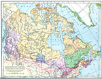
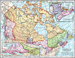
The Dominion of Canada, Newfoundland and Labrador,
1898 |
|
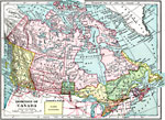
The Dominion of Canada,
1899 |
|
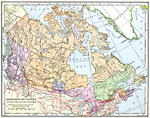
The Dominion of Canada,
1901 |
|
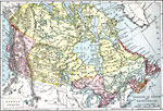
The Dominion of Canada and Newfoundland,
1901 |
|
The Dominion of Canada and Newfoundland,
1902 |
|
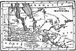
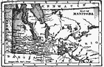
Manitoba,
1902 |
|
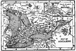
Ontario,
1902 |
|
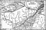
Province of Quebec,
1902 |
|
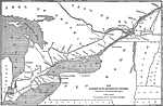
Long Distance Routes between St. Catharine and Quebec,
1902 |
|
Manitoba,
1902 |
| First | Previous | Next | Last |
| Maps > North America > Canada |
Maps ETC is a part of the Educational Technology Clearinghouse
Produced by the Florida Center for Instructional Technology © 2009
College of Education, University of South Florida