|
|
|
| Maps > North America > Mexico |
A collection of historic and contemporary political and physical maps of Mexico, including early exploration and settlement maps, battle plans, and significant archeological sites.
|
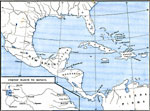
Mexico,
1492–1607 |
|
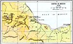
Cortes' March to Mexico,
1519 |
|
Cortes in Mexico,
1519 |
|
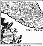
Clavigero's Map of Mexico,
1521 |
|
Mexico City and Vicinity,
1580 |

|
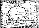
General Plan of Mitla, Oaxaca,
1644 |
|
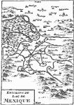
The Lake of Mexico,
1722 |

|
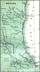
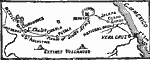
Northeast Mexico,
1846–1848 |
|
Route of the U.S. Army in the Mexican-American War,
1846–1848 |
|
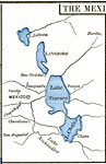
Vicinity of the City of Mexico,
1846–1848 |
| Next | Last |
| Maps > North America > Mexico |
Maps ETC is a part of the Educational Technology Clearinghouse
Produced by the Florida Center for Instructional Technology © 2009
College of Education, University of South Florida