|
|
|
| Maps > North America > Mexico |
A collection of historic and contemporary political and physical maps of Mexico, including early exploration and settlement maps, battle plans, and significant archeological sites.
|
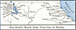
The Mexican War - Gen. Scott's March from Vera Cruz to Mexico,
1846–1848 |
|
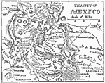
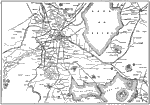
Vicinity of Mexico,
1847 |
|
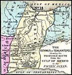
The Isthmus of Tehuantepec,
1852 |
|
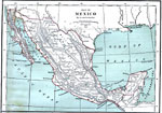
Mexico,
1870 |
|
Mexico,
1872 |
|
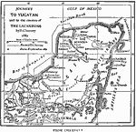
The Yucatan,
1882 |
|
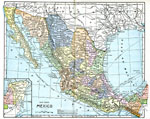
Mexico,
1885 |
|
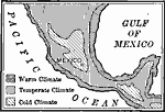
Climatic Regions of Mexico,
1899 |
|
City of Mexico and Suburban Towns,
1899 |
|
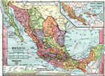
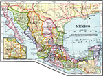
Mexico,
1902 |
| First | Previous | Next | Last |
| Maps > North America > Mexico |
Maps ETC is a part of the Educational Technology Clearinghouse
Produced by the Florida Center for Instructional Technology © 2009
College of Education, University of South Florida