|
|
|
| Maps > North America > Mexico |
A collection of historic and contemporary political and physical maps of Mexico, including early exploration and settlement maps, battle plans, and significant archeological sites.
|
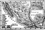
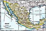
Mexico,
1902 |
|
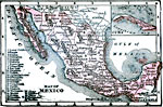
Mexico,
1902 |
|
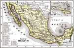
Mexico,
1904 |

|
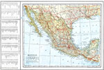
Mexico,
1906 |

|
Mexico,
1911 |

|
Mexico,
1912 |
|
Mexico,
1914 |
|
Mexico,
1914–1919 |

|
Mexico,
1916 |
|
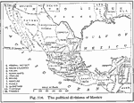
Political Divisions of Mexico,
1916 |
| First | Previous | Next | Last |
| Maps > North America > Mexico |
Maps ETC is a part of the Educational Technology Clearinghouse
Produced by the Florida Center for Instructional Technology © 2009
College of Education, University of South Florida