|
|
|
| Maps > North America > Regional Maps |
Regional maps of North America, which include several selections of countries and nations displaying physical and political features, economy, discovery, and more.
|
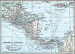
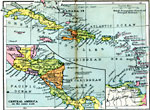
Central America,
1919 |
|
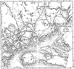
Canada and Northern New England,
1919 |
|
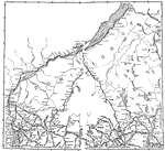
Maine and Canada,
1919 |
|
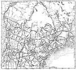
Northern New England and Canada,
1919 |
|
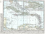
West Indies,
1920 |
|
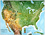
United States and Neighboring Lands,
1920 |
|
West Indies,
1920 |
|
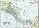
Central America,
1920 |
|
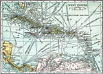
West Indies and Central America,
1920 |
|
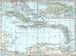
West Indies,
1920 |
| First | Previous | Next | Last |
| Maps > North America > Regional Maps |
Maps ETC is a part of the Educational Technology Clearinghouse
Produced by the Florida Center for Instructional Technology © 2009
College of Education, University of South Florida