|
|
|
| Maps > Polar Region > Arctic Circle |
A collection of historic and contemporary maps of the Arctic region, including early exploration, for use in the K-12 classroom.
|
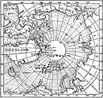
North Polar Regions with the "Farthest North" Points of the Principal Discoveries,
1553–1902 |
|
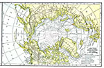
North Polar Region Explorations,
1594–1902 |
|
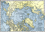
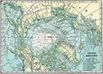
Arctic Region Exploration,
1850–1906 |
|
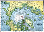
The Arctic Regions,
1850–1909 |
|
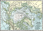
Arctic Region Exploration,
1850–1909 |
|
Arctic Region Exploration,
1850–1909 |
|
Arctic Region Exploration,
1850–1909 |
|
Arctic Region Exploration,
1850–1909 |
|
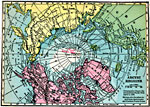
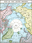
Map of the Arctic Regions,
1883 |
|
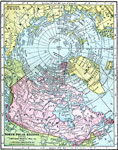
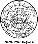
North Polar Region,
1899 |
| Next | Last |
| Maps > Polar Region > Arctic Circle |
Maps ETC is a part of the Educational Technology Clearinghouse
Produced by the Florida Center for Instructional Technology © 2009
College of Education, University of South Florida