Maps Site map
  Maps > Polar Region > Arctic Circle
Site Map  

  Record   11   to   16  of   16

A collection of historic and contemporary maps of the Arctic region, including early exploration, for use in the K-12 classroom.

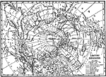
Arctic Regions, 1911
This early 20th century map of the Arctic illustrates the expeditions of explorers, as well as the northern limit of human inhabitation and the northern limit of trees....

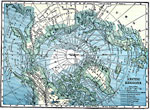
Exploration of the Arctic Regions, 1912
A map of the North Polar Region from 1912 showing the routes of expeditions from 1850–1909 including the site of the sinking of the Jeanette, the route and date that Peary first reached the North Pole (April 6, 1909), and the routes of McClure ...

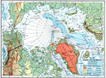
North Polar Region, 1916
A physical map of the North Polar region from 1916 showing the general elevations and depths, and the routes of polar exploration of Fridtjof Nansen (1893–1896), the northernmost point reached by Umberto Cagni (with the Duke of Abruzzi) in 1906...

Arctic Regions, 1919
A map of the North Polar Region from 1919 showing the routes of expeditions from 1850–1909 including the site of the sinking of the Jeanette, the route and date that Peary first reached the North Pole (April 6, 1909), and the routes of McClure ...

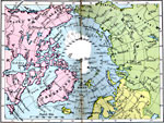
Arctic Regions, 1920
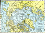
A map from 1920 of the Arctic region of the world. The map is color–coded to show the North American lands in pink, Asian lands in green, and European lands in yellow. The map shows the northernmost points with dates reached by several arctic e...

Arctic Regions, 1921
A map of the North Polar Region from 1921 showing the routes of expeditions from 1850–1909 including the site of the sinking of the Jeanette, the route and date that Peary first reached the North Pole (April 6, 1909), and the routes of McClure ...

First Previous


  Maps > Polar Region > Arctic Circle
Site Map  

Maps ETC is a part of the Educational Technology Clearinghouse
Produced by the Florida Center for Instructional Technology © 2009
College of Education, University of South Florida