|
|
|
| Maps > South America > Complete Maps |
Historic and contemporary maps of South America, including physical and political maps, early exploration and colonization period, climate maps, relief maps, population density and distribution maps, vegetation maps, and economic/resource maps.
|
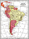
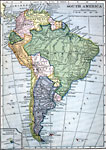
South America,
1904 |
|
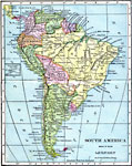
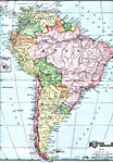
South America,
1906 |
|
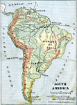
South America,
1906 |
|
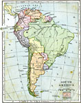
South America,
1906 |
|
South America,
1909 |
|
South America,
1909 |
|
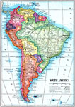
South America,
1910 |
|
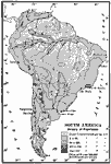
Physical Map of South America,
1910 |
|
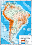
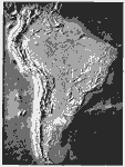
Relief Map of South America,
1910 |
|
Population Density of South America,
1910 |
| First | Previous | Next | Last |
| Maps > South America > Complete Maps |
Maps ETC is a part of the Educational Technology Clearinghouse
Produced by the Florida Center for Instructional Technology © 2009
College of Education, University of South Florida