|
|
|
| Maps > South America > Complete Maps |
Historic and contemporary maps of South America, including physical and political maps, early exploration and colonization period, climate maps, relief maps, population density and distribution maps, vegetation maps, and economic/resource maps.
|
Production of Graphite and Sheet Mica in South America,
1913 |
|
Production of Copper, Lead, and Zinc in South America,
1913 |
|
South America Production of Iron and Manganese Ores,
1913 |

|
Production of Petroleum in South America,
1913 |

|
Production of Platinum, Gold, and Silver in South America,
1913 |
|
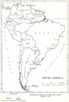
South America,
1914–1919 |
|
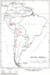
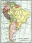
South America,
1915 |

|
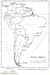
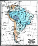
Rainfall in South America - January,
1915 |
|
Rainfall in South America - July,
1915 |

|
Temperature in South America - January,
1915 |
| First | Previous | Next | Last |
| Maps > South America > Complete Maps |
Maps ETC is a part of the Educational Technology Clearinghouse
Produced by the Florida Center for Instructional Technology © 2009
College of Education, University of South Florida