|
|
|
| Maps > United States > Alabama |
A collection of historic and contemporary political and physical maps of Alabama for use in the K-12 classroom.
|
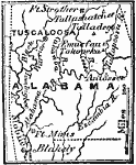
Seat of the Creek War,
1813 |
|
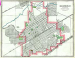
Birmingham, Alabama,
1886 |
|
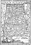
Alabama,
1891 |
|
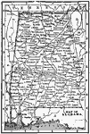
Alabama,
1892 |
|
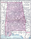
Alabama,
1902 |
|
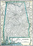
Alabama,
1902 |
|
Alabama ,
1906 |
|
Alabama,
1909 |
|
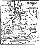
Mobile Bay,
1909 |
|
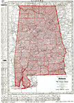
Alabama,
1912 |
| Next | Last |
| Maps > United States > Alabama |
Maps ETC is a part of the Educational Technology Clearinghouse
Produced by the Florida Center for Instructional Technology © 2009
College of Education, University of South Florida