|
|
|
| Maps > United States > Alaska |
A collection of historic and contemporary political and physical maps of Alaska for use in the K-12 classroom.
|
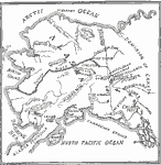
The Klondike Gold Diggings and vicinity,
1865–1898 |
|
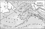
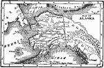
Purchase of Alaska,
1867 |
|
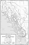
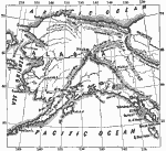
Alaska Boundary Controversy,
1867–1903 |
|
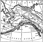
Alaska,
1873 |
|
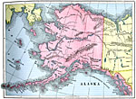
Alaska,
1890 |
|
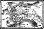
Alaska,
1892 |
|
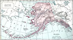
Alaska,
1901 |
|
Alaska,
1902 |
|
Alaska,
1902 |
|
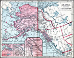
Alaska,
1906 |
| Next | Last |
| Maps > United States > Alaska |
Maps ETC is a part of the Educational Technology Clearinghouse
Produced by the Florida Center for Instructional Technology © 2009
College of Education, University of South Florida