|
|
|
| Maps > United States > California |
A collection of historic and contemporary political and physical maps of California, including early exploration, geomorphic maps, and relief maps.
|
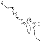
Molineaux's Map of California Coast,
1600 |
|
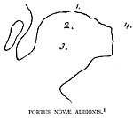
Portus Novae Albionis,
1602 |
|
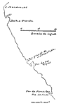
Viscaino's Map of the California Coast,
1602 |
|
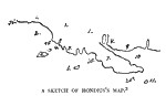
Hondius's Map of Drake's Route,
1628 |
|
Dudley's Carta Prima,
1646 |
|
Nova Albion,
1646 |
|
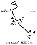
Jefferys' Sketch of New Albion,
1753 |

|
The Mexican War - The Golden Gate ,
1846–1848 |
|
San Francisco Bay and Vicinity in California,
1884 |
|
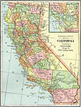
California,
1892 |
| Next | Last |
| Maps > United States > California |
Maps ETC is a part of the Educational Technology Clearinghouse
Produced by the Florida Center for Instructional Technology © 2009
College of Education, University of South Florida