|
|
|
| Maps > United States > California |
A collection of historic and contemporary political and physical maps of California, including early exploration, geomorphic maps, and relief maps.
|
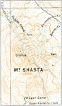
Mount Shasta,
1916 |
|
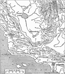
Contours of Central California,
1916 |

|
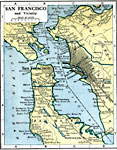
San Francisco and Vicinity,
1916 |
|
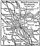
San Francisco Harbor,
1919 |
|
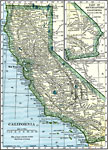
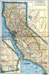
California,
1919 |
|
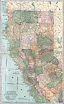
California,
1919 |
|
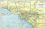
Los Angeles and Vicinity,
1919 |
|
San Francisco and Vicinity,
1919 |
|
Northern and Central California,
1920 |
|
Southern California,
1920 |
| First | Previous | Next | Last |
| Maps > United States > California |
Maps ETC is a part of the Educational Technology Clearinghouse
Produced by the Florida Center for Instructional Technology © 2009
College of Education, University of South Florida