|
|
|
| Maps > United States > Civil War |
A collection of historic maps of the American Civil War, including regional seats of the war, battle and campaign maps, and territories held by Confederate and Union forces.
|
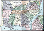
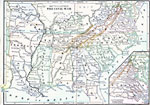
Civil War,
1861–1865 |
|
Civil War,
1861–1865 |
|
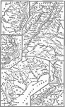
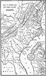
Kentucky and West Virginia,
1861–1865 |
|
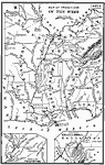
Operations in the West,
1861–1865 |
|
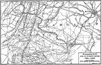
Operations in the East,
1861–1865 |
|
The Civil War,
1861–1865 |
|
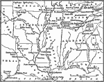
The War in the West,
1861–1865 |
|
Washington and Surroundings,
1861–1865 |
|
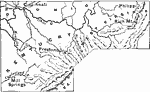
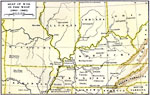
Seat of War in the West,
1861–1865 |
|
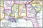
Seat of War in the South,
1861–1865 |
| First | Previous | Next | Last |
| Maps > United States > Civil War |
Maps ETC is a part of the Educational Technology Clearinghouse
Produced by the Florida Center for Instructional Technology © 2009
College of Education, University of South Florida