Maps Site map
  Maps > United States > Civil War
Site Map  

  Record   41   to   50  of   137

A collection of historic maps of the American Civil War, including regional seats of the war, battle and campaign maps, and territories held by Confederate and Union forces.
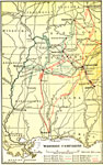
Western Campaigns, 1861–1865
The scenes of the Western campaigns, color-coded to show trails taken by various military leaders....

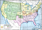
United States During the Civil War, 1861–1865
A map of the United Stated during the American Civil War (1861–1865) showing State and territory boundaries, with dates of statehood for the territories from 1796 to 1861. The map is color–coded to show the Union States, Confederate State...

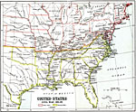
United States Civil War, 1861–1865
A map of the eastern United Stated during the American Civil War (1861–1865). The map is color–coded to show the Union States, and the Secession States of the Confederacy. The map shows major cities and towns, railroads, rivers, and marks...

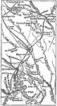
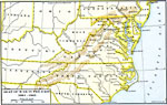
Grant's Campaign Around Richmond, 1861–1865
Grant's campaign around Richmond....

Seat of War in the East , 1861–1865
A map showing the seat of the American Civil War (1861–1865) in the east. The map shows the principal areas of conflict from southern Pennsylvania (Harrisburg and Gettysburg) south to the South Carolina State Line, showing major cities and town...

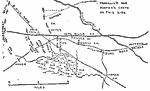
The Battle of Fair Oaks, 1862
A map of the area of the Battle of Fair Oaks, Virginia, which took place on May 31–June 1, 1862. The map shows the York River Railroad, Williamsburg Road, 9 Mile Road, the White Oak Swamp, the Chickahominy River, and the Union and Confederate p...

The Seven Days Battle, 1862
A map of the area around Richmond, Virginia showing the sites of the Seven Days Battle, which took place June 26–July 2, 1862 during the American Civil War. The map shows the roads and railways to the east of Richmond, and the battle sites of M...

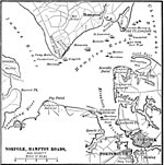
Battle of the Monitor and the Merrimac, 1862
A map of Norfolk, Hampton Roads, and the vicinity, showing the battle site between the Merrimac and Monitor, and where the Merrimac was burnt and sank....

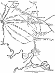
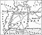
Grant Moves Towards Corinth, 1862
A map the area near the boundary of Tennessee and Mississippi showing the region where General Grant advanced towards Corinth in 1862. Corinth is at the junction of two railroads which made it strategically important to the Confederacy during the Ame...

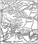
Vicinity of Richmond and Petersburg, 1862
A map of the vicinity of Richmond and Petersburg during the Civil War, showing several important battle sites of the Peninsula Campaign. ...

First Previous Next Last


  Maps > United States > Civil War
Site Map  

Maps ETC is a part of the Educational Technology Clearinghouse
Produced by the Florida Center for Instructional Technology © 2009
College of Education, University of South Florida