|
|
|
| Maps > United States > Connecticut |
A collection of historic and contemporary political and physical maps of Connecticut, including early settlements, geomorphology, and automobile routes.
|
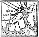
New London,
1781 |
|
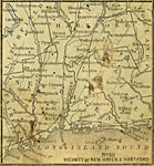
Vicinity of New Haven and Hartford,
1858 |
|
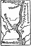
Vicinity of Hartford,
1872 |
|
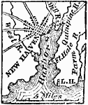
New Haven,
1872 |
|
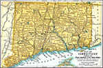
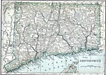
Connecticut,
1891 |
|
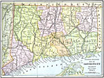
Connecticut,
1892 |
|
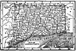
Connecticut,
1902 |
|
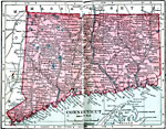
Connecticut,
1906 |
|
Connecticut,
1909 |
|
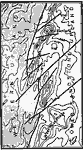
West Rock Ridge,
1911 |
| Next | Last |
| Maps > United States > Connecticut |
Maps ETC is a part of the Educational Technology Clearinghouse
Produced by the Florida Center for Instructional Technology © 2009
College of Education, University of South Florida