|
|
|
| Maps > United States > District of Columbia |
A collection of historic maps of the District of Columbia for use in the K-12 classroom.
|
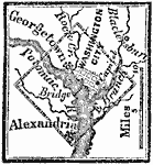
District of Columbia,
1800 |
|
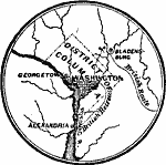
Vicinity of Washington,
1814 |
|
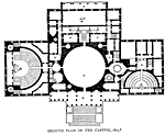
Ground Plan of the Capitol,
1825 |
|
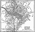
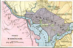
District of Columbia,
1872 |
|
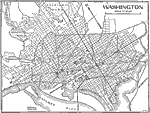
Washington D.C.,
1883 |
|
Washington D.C.,
1921 |
|
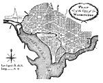
Plan of the City of Washington,
March 1792 |
| Maps > United States > District of Columbia |
Maps ETC is a part of the Educational Technology Clearinghouse
Produced by the Florida Center for Instructional Technology © 2009
College of Education, University of South Florida