Maps Site map
  Maps > United States > Early America 1400-1800
Site Map  

  Record   1   to   10  of   199

A collection of historic maps of early America from explorations and settlements of the English, French, and Spanish, to the end of the American Revolutionary War.
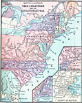
The Colonies and the Revolutionary War,
A map of the Thirteen Colonies during the American Revolution. The map shows the territorial claims west of the Allegheny Mountains, and includes inset maps detailing the vicinity of Philadelphia, the vicinity of Boston, and the vicinity of New York....

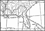
Routes of Spanish Explorers, 1513–1565
A map of southern North America, Florida, and the Gulf of Mexico east the Mississippi Delta showing the routes of the early Spanish explorers Ponce de Leon (1513), De Narvaez (1528), and Hernando de Soto (1535–1542)....

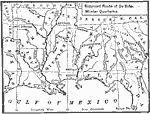
Route of De Soto, 1539–1542
A map of the supposed route of Hernando de Soto's expedition taken from Tampa Bay (1539) to the Mississippi River, first reached in 1541, and the site of his death in 1542. The map shows the winter quarters of the expedition in northern Florida, Chic...

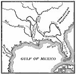
The Route of DeSoto, 1539–1542
A map of the supposed route of Hernando de Soto's expedition from Tampa Bay (1539) to the Mississippi River, first reached in 1541, and the site of his death in 1542. This map, from 1907, shows a route that has been disputed in later years....

DeSoto's March from Tampa Bay to the Mississippi, 1539–1542
A map of the route of Hernando de Soto's expedition taken from Tampa Bay (1539) to the Mississippi River, first reached in 1541, and the site of his death in 1542. This map, from 1891, shows a route that has been disputed in later years....

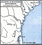
Attempts at Huguenot Settlements in Florida, 1562–1565
A map of the southern Atlantic coastline showing the early attempts by the French Huguenots under Jean Ribault to establish settlements in the Spanish territory of Florida. The map shows the sites of Charles Fort (Charlesfort) South Carolina, a short...

Virginia, 1577
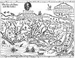
A facsimile of an early map (1651) showing the discoveries of Sir Francis Drake in North America, including the coastline of Ould Virginia and Maryland, the Bay of Checepiake (Chesapeake Bay), Lord Delaware Bay, Cape Hatteras and Cape Fear, and the S...

Roanoke Island, Jamestown, and St. Mary's, 1584–1632
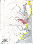
A map of the Chesapeake Bay and Pamlico Sound area showing the initial Virginia Colony established by Sir Walter Raleigh and Queen Elizabeth I in 1584 through the European settlements established by 1634, including Roanoke Island, Jamestown (1607), a...

Roanoke Island, 1585
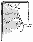
A base map of eastern Virginia and North Carolina showing Roanoke Island, site of the first attempt to establish an English settlement by Sir Walter Raleigh in 1585....

Dutch and Neighboring settlements, 1600s
A map of New Netherlands in the 1600's showing New Amsterdam and Dutch Fort (Albany) established in 1623, the English Settlements on the Connecticut River (Hartford) and the New Haven Colony, and the southern Dutch and Swedish settlements on the Dela...

Next Last


  Maps > United States > Early America 1400-1800
Site Map  

Maps ETC is a part of the Educational Technology Clearinghouse
Produced by the Florida Center for Instructional Technology © 2009
College of Education, University of South Florida