|
|
|
| Maps > United States > Forestry |
A collection of Forestry and Timber maps in the United States for use in the K-12 classroom.
|
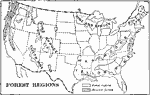
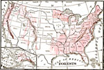
The United States - Forest Regions,
1897 |
|
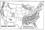
Forest Regions,
1898 |
|
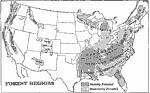
United States Forest Regions,
1901 |
|
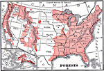
Forest Areas of the United States,
1901 |
|
Forest Regions of the United States,
1904 |
|
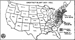
Chestnut Blight,
1904–1922 |
|
Forest Regions of the United States,
1906 |
|
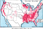
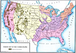
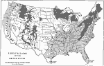
Forest Map of the United States,
1910 |
|
Forest Regions of the United States,
1911 |
|
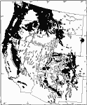
Western Forests and Woodlands,
1911 |
| Next | Last |
| Maps > United States > Forestry |
Maps ETC is a part of the Educational Technology Clearinghouse
Produced by the Florida Center for Instructional Technology © 2009
College of Education, University of South Florida