|
|
|
| Maps > United States > Georgia |
A collection of historic and contemporary political and physical maps of Georgia, including campaign and battle plans, for use in the K-12 classroom.
|
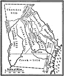
Indian Cessions in Georgia,
1733–1835 |
|
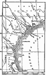
Vicinity of Fort Frederica,
1742 |
|
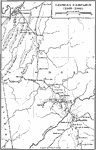
Georgia Campaign,
1863–1864 |
|
Operations about Atlanta,
1864 |
|
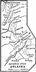
Advance upon Atlanta,
1864 |
|
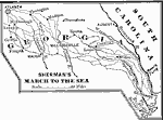
Sherman's March to the Sea,
1864 |
|
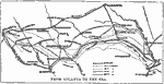
From Atlanta to the Sea,
1864 |
|
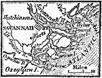
Vicinity of Savannah,
1872 |
|
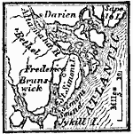
Vicinity of Frederica,
1872 |
|
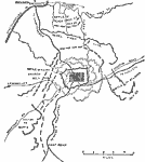
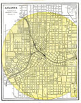
Atlanta,
1886 |
| Next | Last |
| Maps > United States > Georgia |
Maps ETC is a part of the Educational Technology Clearinghouse
Produced by the Florida Center for Instructional Technology © 2009
College of Education, University of South Florida