|
|
|
| Maps > United States > Growth of Nation |
A collection of historic maps of territorial acquisitions and growth of the United States for use in the K-12 classroom.
|
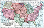
United States Acquisition of Territory,
1853 |
|
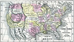
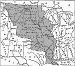
The United States,
1859 |
|
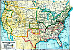
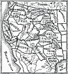
The United States,
1861 |
|
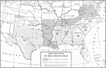
Reconstruction in the South,
1862–1877 |
|
The Louisiana Purchase,
1865–1898 |
|
The Expanding United States,
1865–1898 |
|
United States Expansion and the Railroads,
1880 |
|
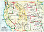
The New West,
1889–1912 |
|
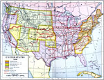
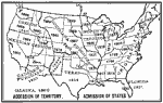
Admission of States to the Union,
1899 |
|
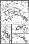
Territories of the United States,
1900 |
| First | Previous | Next | Last |
| Maps > United States > Growth of Nation |
Maps ETC is a part of the Educational Technology Clearinghouse
Produced by the Florida Center for Instructional Technology © 2009
College of Education, University of South Florida