|
|
|
| Maps > United States > Hawaii |
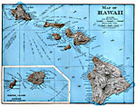
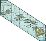
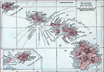
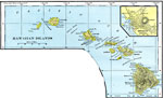
Historic and contemporary maps of the Hawaiian Island group, for use in the K-12 classroom.

|
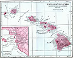
Hawaiian Islands,
1898 |
|
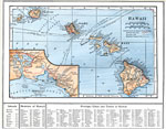
Hawaii,
1899 |
|
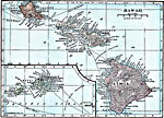
Hawaiian Islands,
1899 |
|
Hawaii,
1901 |
|
Hawaiian Islands,
1902 |
|
Hawaiian Islands (Sandwich Islands),
1906 |

|
Hawaiian Islands,
1906 |

|
Hawaii,
1912 |
|
Hawaii,
1914 |
|
Hawaii,
1919 |
| Next | Last |
| Maps > United States > Hawaii |
Maps ETC is a part of the Educational Technology Clearinghouse
Produced by the Florida Center for Instructional Technology © 2009
College of Education, University of South Florida