|
|
|
| Maps > United States > Maine |
A collection of historic and contemporary political and physical maps of Maine, including early exploration and settlement maps, and automobile route maps, for use in the K-12 classroom.
|
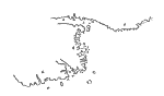
Portuguese Portolano,
1514–1520 |

|
The French Claim in Maine,
1605–1752 |
|
Ancient Pemaquid,
1625 |
|
Fort Pentagöet, Maine,
1626 |
|
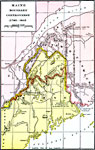
Maine Boundary Controversy,
1763–1842 |
|
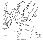
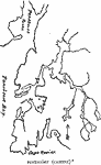
Northeast Boundary,
1783–1842 |

|
Vicinity of Pemaquid Fort,
1872 |

|
Drawing Maine,
1872 |

|
Maine,
1872 |
|
Coast of Maine,
1884 |
| Next | Last |
| Maps > United States > Maine |
Maps ETC is a part of the Educational Technology Clearinghouse
Produced by the Florida Center for Instructional Technology © 2009
College of Education, University of South Florida