|
|
|
| Maps > United States > Massachusetts |
A collection of historic and contemporary political and physical maps of Massachusetts, including early exploration and settlement maps, Revolutionary War maps, and automobile route maps.
|
Battle of Bunker Hill,
1775 |
|
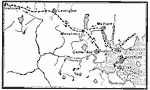
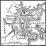
Siege of Boston,
1775 |

|
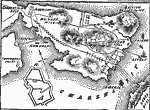
British Fort on Bunker Hill,
1775 |
|
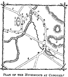
Plan of the Movements at Concord,
1775 |
|
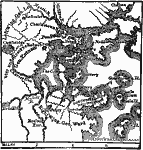
The Campaign around Boston,
1775–1776 |
|
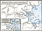
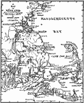
The Country Around Boston,
1775–1783 |
|
Boston and Dorchester Heights,
1776 |
|
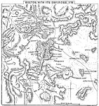
Boston, with its Environs,
1776 |
|
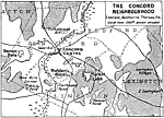
The Concord Neighbourhood,
1830–1880 |
|
Vinland,
1837 |
| First | Previous | Next | Last |
| Maps > United States > Massachusetts |
Maps ETC is a part of the Educational Technology Clearinghouse
Produced by the Florida Center for Instructional Technology © 2009
College of Education, University of South Florida