Maps Site map
  Maps > United States > Massachusetts
Site Map  

  Record   81   to   90  of   113

A collection of historic and contemporary political and physical maps of Massachusetts, including early exploration and settlement maps, Revolutionary War maps, and automobile route maps.
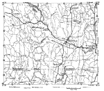
Massachusetts and Connecticut, 1919
Parts of Massachusetts and Connecticut from 1919, showing roads....

Massachusetts, 1919
A road map of inland Massachusetts in the vicinity of Walpole from the Official Automobile Blue Book (1919), showing county lines, towns, and roads, and keyed to show the best auto routes, other auto routes, unreported roads, railroads, and canals....

Inland Massachusetts, 1919
A road map of inland Massachusetts in the vicinity of Northampton from the Official Automobile Blue Book (1919), keyed to show the best auto routes, other auto routes, unreported roads, railroads, and canals....

Massachusetts, 1919
A road map of inland Massachusetts in the vicinity of Amherst from the Official Automobile Blue Book (1919), showing county lines, towns, and roads, and keyed to show the best auto routes, other auto routes, unreported roads, railroads, and canals....

Massachusetts, 1919
A road map of inland Massachusetts in the vicinity of Coldbrook Springs from the Official Automobile Blue Book (1919), showing county lines, towns, and roads, and keyed to show the best auto routes, other auto routes, unreported roads, railroads, and...

Worcester and Vicinity, 1919
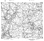
A road map of Massachusetts in the vicinity west of Worcester and Marlboro from the Official Automobile Blue Book (1919), showing cities, towns, and roads, and is keyed to show the best auto routes, other auto routes, unreported roads, railroads, and...

West Boston, 1919
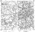
A road map of Massachusetts in the area west of Boston from the Official Automobile Blue Book (1919), showing cities, towns, and roads, and is keyed to show the best auto routes, other auto routes, unreported roads, railroads, and canals....

East Boston, 1919
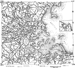
A road map of the vicinity of eastern Boston and Boston Harbor from the Official Automobile Blue Book (1919), keyed to show the best auto routes, other auto routes, unreported roads, railroads, and canals. The map shows cities and towns, and the coas...

Massachusetts, 1919
Part of northern Massachusetts in 1919. ...

Massachusetts, 1919
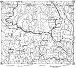
A road map of northern Massachusetts in the vicinity of Athol and Greenfield from the Official Automobile Blue Book (1919), showing state and county lines, towns, and roads, and keyed to show the best auto routes, other auto routes, unreported roads,...

First Previous Next Last


  Maps > United States > Massachusetts
Site Map  

Maps ETC is a part of the Educational Technology Clearinghouse
Produced by the Florida Center for Instructional Technology © 2009
College of Education, University of South Florida