Maps Site map
  Maps > United States > Minnesota
Site Map  

  Record   1   to   10  of   15

A collection of historic and contemporary political and physical maps of Minnesota, including geophysical maps, for use in the K-12 classroom.
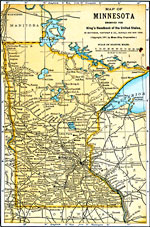
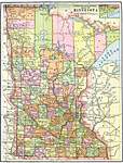
Minnesota, 1891
A map from 1891 of Minnesota showing the capital of St. Paul, major cities and towns, Indian reservations, railroads, lakes, and rivers, including the headwaters of the Mississippi River....

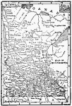
Minnesota, 1892
A map from 1892 of Minnesota showing the capital of St. Paul, counties, major cities and towns, railroads, lakes, and rivers, including the headwaters of the Mississippi River....

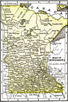
Minnesota, 1902
A map from 1902 of Minnesota showing the capital of St. Paul, major cities and towns, the Red Lake Indian Lands, railroads, lakes, and rivers, including the headwaters of the Mississippi River....

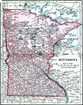
Minnesota, 1904
A map from 1904 of Minnesota showing the capital of Minneapolis (St. Paul since 1849), major cities and towns, Indian reservations, railroads, lakes, and rivers. "Minnesota (Gopher State) — Was first settled in 1812. Admitted to the Union ...

Minnesota, 1906
A map from 1906 of Minnesota showing the capital of St. Paul, major cities and towns, the Red Lake Indian Lands, railroads, lakes, and rivers, including the headwaters of the Mississippi River....

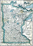
Minnesota, 1909
A map from 1909 of Minnesota showing the capital of St. Paul, major cities and towns, Indian reservations, railroads, lakes, and rivers, including the headwaters of the Mississippi River....

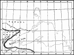
Superior Ice Lake, 1911
A map from 1911 showing the Superior ice lake and glacial marginal Lake Duluth at its greatest extent, and the contemporary ice border during the last glacial period....

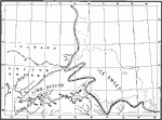
Lake Duluth, 1911
A map from 1911 showing Lake Duluth at its greatest extent, and the contemporary ice border during the last glacial period. ...

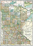
Minnesota, 1911
A map from 1911 of Minnesota showing the capital of St. Paul, counties and county seats, major cities and towns, Indian reservations, railroads, lakes, and rivers, including the headwaters of the Mississippi River....

Minnesota, 1914
A map from 1914 of Minnesota showing the capital of St. Paul, counties and county seats, major cities and towns, Indian reservations, railroads, lakes, and rivers, including the headwaters of the Mississippi River. A grid reference at the bottom of t...

Next Last


  Maps > United States > Minnesota
Site Map  

Maps ETC is a part of the Educational Technology Clearinghouse
Produced by the Florida Center for Instructional Technology © 2009
College of Education, University of South Florida