Maps Site map
  Maps > United States > Montana
Site Map  

  Record   11   to   20  of   22

A collection of historic and contemporary political and physical maps of Montana, including geophysical maps, for use in the K-12 classroom.
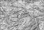
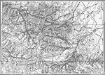
Western Montana, 1911
A contour map from 1911 showing the topography of western Montana in the vicinity of Marysville....

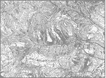
Boulder Plateaus, 1911
A contour map from 1911 of the topography of East and West Boulder plateaus and the northern end of the Absaroka Range in southwestern Montana....

Highwood Mountains, 1911
A map of a part of the Highwoods Mountains in Montana showing a glaciated portion of the Great Plains. The map shows the remnant glacial features such as moraine and drift, and shows the areas covered by younger drift, areas covered by mountain glaci...

Little Belt Mountains, 1911
A contour map showing the topography of Montana's Little Belt Mountains....

Highwood Mountains, 1911
A contour map showing the topography of the Highwood Mountains, Montana. The contour intervals are 200 feet....

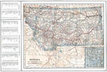
Montana, 1914
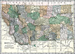
A map from 1914 of Montana showing the capital of Helena, counties and county seats, major cities and towns, Indian reservations, military reservations, railroads, rivers, and mountains. An inset map details Yellowstone National Park, primarily in Wy...

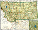
Montana, 1919
A map from 1919 of Montana showing the capital of Helena, counties and county seats, major cities and towns, Indian reservations, railroads, rivers, and mountains. An inset map details Yellowstone National Park, primarily in Wyoming....

Montana, 1920
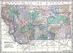
A map from 1920 of Montana showing the capital of Helena, counties and county seats, major cities and towns, Indian reservations, railroads, rivers, and mountains. The boundaries of Yellowstone National Park, primarily in Wyoming, are shown....

Montana, 1920
A map from 1920 of Montana showing the capital of Helena, counties and county seats, major cities and towns, Indian reservations, military reservations, railroads, rivers, and mountains. The boundaries of Yellowstone National Park, primarily in Wyomi...

Montana, 1920
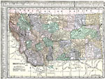
A map from 1920 of Montana showing the capital of Helena, counties and county seats, major cities and towns, Indian reservations, military reservations, railroads, rivers, and mountains. The boundaries of Yellowstone National Park, primarily in Wyomi...

First Previous Next Last


  Maps > United States > Montana
Site Map  

Maps ETC is a part of the Educational Technology Clearinghouse
Produced by the Florida Center for Instructional Technology © 2009
College of Education, University of South Florida