Maps Site map
  Maps > United States > New Hampshire
Site Map  

  Record   11   to   20  of   29

A collection of historic and contemporary political and physical maps of New Hampshire, including automobile route maps, for use in the K-12 classroom.
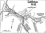
Littleton, 1919
A road map of Littleton, New Hampshire, from the Official Automobile Blue Book (1919), showing the Ammonoosuc River, principal roads, railroads and station, bridges, parks, cemeteries, and major landmarks....

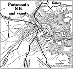
Portsmouth and Vicinity, 1919
A road map of Portsmouth, New Hampshire, from the Official Automobile Blue Book (1919), showing the Piscataqua River, principal roads, railroads and stations, bridges, parks, and major landmarks....

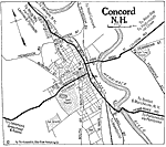
Concord, 1919
A road map of Concord, New Hampshire, from the Official Automobile Blue Book (1919), showing the Merrimack River, major roads, railroads and station, bridges, parks, cemeteries, and major landmarks....

Franklin, 1919
A road map of Franklin, New Hampshire, from the Official Automobile Blue Book (1919), showing the Pemigewasset and Winnipesaukee rivers, major roads, railroads and stations, bridges, cemeteries, and major landmarks....

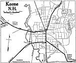
Keene, 1919
A road map of Keene, New Hampshire, from the Official Automobile Blue Book (1919), showing the Ashuelot River, major roads, railroads and stations, bridges, cemeteries, and major landmarks....

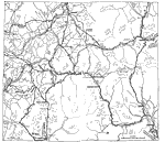
The White Mountains Region, 1919
A road map of the White Mountains region of New Hampshire in the vicinity of Marlewood from the Official Automobile Blue Book (1919), showing county lines, principal cities and towns, rivers, and is keyed to show the best auto routes, other auto rout...

Dover, 1919
A road map of Dover, New Hampshire, from the Official Automobile Blue Book (1919), showing the major roads, railroad, bridges,and major landmarks....

Vicinity of Keene, 1919
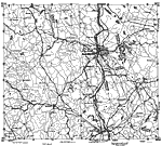
A road map of New Hampshire in the vicinity of Keene from the Official Automobile Blue Book (1919), showing county lines, principal cities and towns, rivers, and is keyed to show the best auto routes, other auto routes, unreported roads, railroads, a...

Manchester and Vicinity, 1919
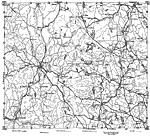
A road map of New Hampshire in the vicinity of Manchester from the Official Automobile Blue Book (1919), showing county lines, principal cities and towns, rivers, and is keyed to show the best auto routes, other auto routes, unreported roads, railroa...

Coastal New Hampshire, 1919
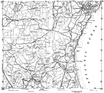
A road map of coastal New Hampshire in the vicinity of Portsmouth and inland to Epping from the Official Automobile Blue Book (1919), showing state and county lines, principal cities, rivers, and is keyed to show the best auto routes, other auto rout...

First Previous Next Last


  Maps > United States > New Hampshire
Site Map  

Maps ETC is a part of the Educational Technology Clearinghouse
Produced by the Florida Center for Instructional Technology © 2009
College of Education, University of South Florida