|
|
|
| Maps > United States > New York |
A collection of historic and contemporary political and physical maps of New York, including early exploration and settlement maps, Revolutionary War maps, geophysical maps, and automobile route maps.
|
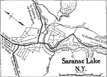
Plattsburg, New York,
1920 |
|
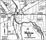
Malone, New York,
1920 |
|
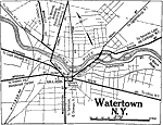
Watertown, New York,
1920 |
|
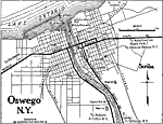
Oswego, New York,
1920 |
|
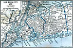
New York City and Vicinity,
1922 |
|
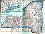
New York,
1922 |
|
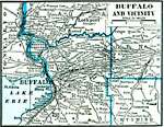
Buffalo and Vicinity,
1922 |
|
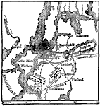
The Battle of Long Island,
August 17, 1776 |
|
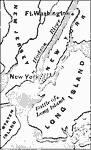
Battle of Long Island,
August 22–27, 1776 |
|
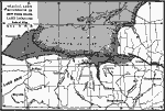
Glacial Lake Succession in New York State,
Ice Age |
| First | Previous |
| Maps > United States > New York |
Maps ETC is a part of the Educational Technology Clearinghouse
Produced by the Florida Center for Instructional Technology © 2009
College of Education, University of South Florida