|
|
|
| Maps > United States > North Carolina |
A collection of historic and contemporary political and physical maps of North Carolina, including early exploration and settlement maps, Revolutionary and Civil War maps, and geophysical maps.
|
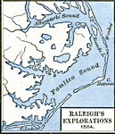
Raleigh's Explorations,
1584 |
|
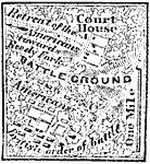
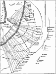
Battle of Guildford Court House,
1781 |
|
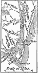
Wilmington,
1864 |
|
North Carolina,
1865 |
|
Bombardment of Fort Fisher,
1865 |
|
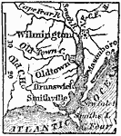
Vicinity of Wilmington,
1872 |
|
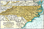
North Carolina,
1891 |

|
Geology of North Carolina,
1903 |

|
North Carolina,
1903 |
|
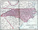
North Carolina,
1906 |
| Next | Last |
| Maps > United States > North Carolina |
Maps ETC is a part of the Educational Technology Clearinghouse
Produced by the Florida Center for Instructional Technology © 2009
College of Education, University of South Florida