|
|
|
| Maps > United States > Ohio |
A collection of historic and contemporary political and physical maps of Ohio, including early history, and significant archeological sites.
|
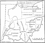
The Districts of Ohio,
1787 |

|
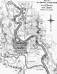
Fort Meigs,
1813 |
|
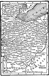
Scioto Valley,
1847 |
|
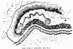
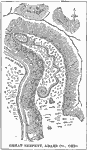
The Great Serpent Mound,
1851 |
|
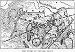
Works at Newark, Ohio,
1862 |
|
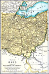
Ohio,
1891 |
|
The Great Serpent Mound,
1892 |
|
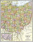
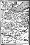
Ohio,
1892 |
|
Ohio,
1898 |
|
Ohio,
1902 |
| Next | Last |
| Maps > United States > Ohio |
Maps ETC is a part of the Educational Technology Clearinghouse
Produced by the Florida Center for Instructional Technology © 2009
College of Education, University of South Florida