|
|
|
| Maps > United States > Pennsylvania |
A collection of historic and contemporary political and physical maps of Pennsylvania, including geophysical maps and automobile route maps for use in the K-12 classroom.
|
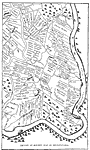
Section of Holme's Map of Pennsylvania,
1681 |
|
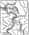
Braddock's Defeat,
1755 |
|
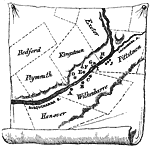
Position of the Wyoming Forts,
1770s |
|
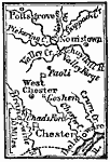
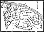
West of Philadelphia,
1777 |
|
Encampment at Valley Forge,
1777–1778 |
|
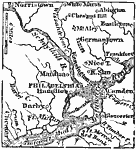
Philadelphia and Vicinity,
1872 |

|
Relief of Pennsylvania,
1872 |

|
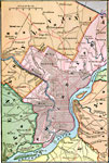
Philadelphia and Vicinity,
1881 |
|
Philadelphia and Vicinity,
1883 |
|
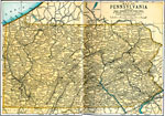
Pennsylvania,
1891 |
| Next | Last |
| Maps > United States > Pennsylvania |
Maps ETC is a part of the Educational Technology Clearinghouse
Produced by the Florida Center for Instructional Technology © 2009
College of Education, University of South Florida