|
|
|
| Maps > United States > Regional Maps >Southern States |
|
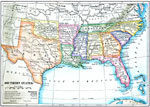
Southern United States,
1910 |
|
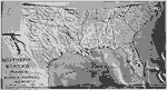
Relief of the Southern United States,
1910 |
|
Principal Cities of the South,
1910 |
|
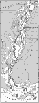
Lower Alluvial Valley of the Mississippi,
1911 |
|
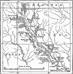
Red River Valley,
1911 |
|
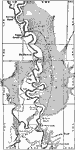
Drainage of Raft Lakes,
1911 |
|
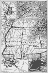
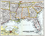
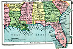
Southern States,
1911 |
|
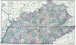
Kentucky and Tennessee,
1920 |
|
Southern United States,
1920 |
|
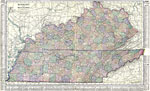
Kentucky and Tennessee,
1920 |
| First | Previous |
| Maps > United States > Regional Maps >Southern States |
Maps
is a part of the
Educational Technology Clearinghouse
Produced by the
Florida Center for Instructional Technology
© 2009
College of Education
,
University of South Florida