|
|
|
| Maps > United States > Regional Maps >New England States |

|
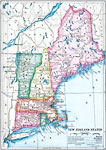
New England States,
1902 |
|
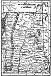
New Hampshire and Vermont,
1902 |

|
New England States,
1906 |
|
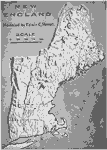
The New England States,
1910 |
|
Relief of New England,
1910 |

|
New England ,
1910 |
|
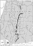
Connecticut Valley Lowlands,
1911 |

|
The Taconic Region,
1911 |

|
The Boston District,
1911 |
|
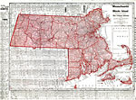
Massachusetts and Rhode Island,
1912 |
| First | Previous | Next | Last |
| Maps > United States > Regional Maps >New England States |
Maps
is a part of the
Educational Technology Clearinghouse
Produced by the
Florida Center for Instructional Technology
© 2009
College of Education
,
University of South Florida