|
|
|
| Maps > United States > Regional Maps >New England States |
|
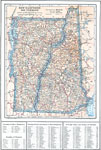
New Hampshire and Vermont,
1914 |
|
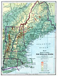
New England States,
1916 |
|
Connecticut and Long Island,
1919 |
|
Coastal Connecticut and Rhode Island,
1919 |
|
New England,
1919 |
|
Vermont and New York,
1919 |
|
Maine and New Hampshire,
1919 |
|
Vermont and New Hampshire,
1919 |
|
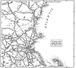
Coastal New England from Massachusetts to southern Maine,
1919 |
|
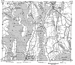
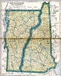
New Hampshire and Vermont,
1919 |
| First | Previous | Next | Last |
| Maps > United States > Regional Maps >New England States |
Maps
is a part of the
Educational Technology Clearinghouse
Produced by the
Florida Center for Instructional Technology
© 2009
College of Education
,
University of South Florida