|
|
|
| Maps > United States > Rhode Island |
A collection of historic and contemporary political and physical maps of Rhode Island, including early exploration and settlement maps and automobile route maps.
|
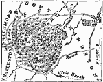
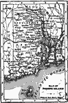
Metacomet's Narragansett Fort and Swamp,
1675 |

|
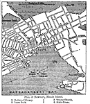
Narragansett Bay,
1872 |
|
Rhode Island,
1872 |
|
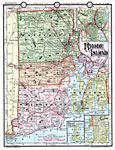
Rhode Island,
1891 |
|
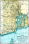
Rhode Island,
1898 |
|
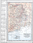
Rhode Island,
1902 |
|
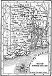
Plan of Newport, Rhode Island,
1903 |
|
Rhode Island,
1906 |
|
Rhode Island,
1909 |
|
Rhode Island,
1914 |
| Next | Last |
| Maps > United States > Rhode Island |
Maps ETC is a part of the Educational Technology Clearinghouse
Produced by the Florida Center for Instructional Technology © 2009
College of Education, University of South Florida