|
|
|
| Maps > United States > Texas |
A collection of historic and contemporary political and physical maps of Texas, including climate, vegetation, and geophysical maps, for use in the K-12 classroom.

|
The Mexican War - Mouth of the Rio Grande,
1846–1848 |
|
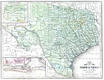
The State of Texas,
1858 |
|
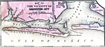
Vicinity of Galveston City,
1858 |
|
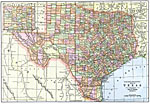
Texas,
1892 |
|
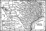
Texas,
1898 |

|
Texas,
1902 |
|
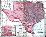
Texas,
1906 |
|
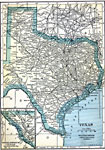
Texas,
1909 |
|
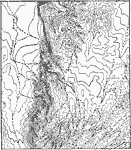
Trans–Pecos Highlands, Texas,
1911 |
|
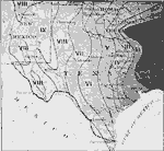
Precipitation in the Texas Region,
1911 |
| Next | Last |
| Maps > United States > Texas |
Maps ETC is a part of the Educational Technology Clearinghouse
Produced by the Florida Center for Instructional Technology © 2009
College of Education, University of South Florida