|
|
|
| Maps > United States > Utah |
A collection of historic and contemporary political and physical maps of Utah, including geophysical maps, for use in the K-12 classroom.
|
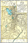
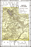
Utah,
1891 |
|
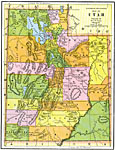
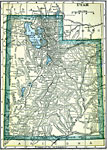
the Utah Territory,
1892 |
|
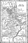
Utah,
1898 |
|
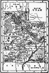
Utah,
1902 |
|
Utah,
1904 |
|
Utah,
1909 |
|
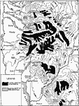
Former Glacier Systems of the Wasatch Mountains,
1911 |
|
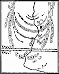
Bell Canyon Moraines,
1911 |
|
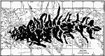
Uinta Glacier Systems,
1911 |
|
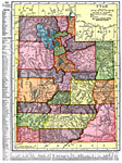
Utah,
1911 |
| Next | Last |
| Maps > United States > Utah |
Maps ETC is a part of the Educational Technology Clearinghouse
Produced by the Florida Center for Instructional Technology © 2009
College of Education, University of South Florida