Maps Site map
  Maps > United States > Utah
Site Map  

  Record   11   to   19  of   19

A collection of historic and contemporary political and physical maps of Utah, including geophysical maps, for use in the K-12 classroom.
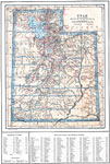
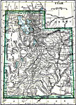
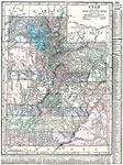
Utah, 1914
A map from 1914 of Utah showing the capital at Salt Lake City, counties and county seats, principal cities and towns, Indian reservations, railroads, mountains, lakes, rivers, and the Great Salt Lake Desert region to the west of Salt Lake. A grid ref...

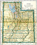
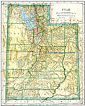
Utah, 1919
A map from 1919 of Utah showing the capital at Salt Lake City, principal cities and towns, Indian reservations, railroads, mountains, lakes, rivers, and the Great Salt Lake Desert region to the west of Salt Lake....

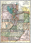
Utah, 1919
A map from 1919 of Utah showing the capital at Salt Lake City, counties and county seats, principal cities and towns, railroads, mountains, lakes, rivers, and the Great Salt Lake Desert region to the west of Salt Lake....

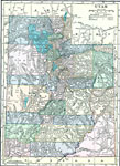
Utah, 1920
A map from 1920 of Utah showing the capital at Salt Lake City, counties and county seats, principal cities and towns, Indian reservations, railroads, mountains, lakes, rivers, and the Great Salt Lake Desert region to the west of Salt Lake....

Utah, 1920
A map from 1920 of Utah showing the capital at Salt Lake City, counties and county seats, principal cities and towns, Indian reservations, forest reserves, military reservations, railroads, mountains, lakes, rivers, and the Great Salt Lake Desert reg...

Utah, 1920
A map from 1920 of Utah showing the capital at Salt Lake City, counties and county seats, principal cities and towns, Indian reservations, forest reserves, military reservations, railroads, mountains, lakes, rivers, and the Great Salt Lake Desert reg...

Utah, 1920
A map from 1920 of Utah showing the capital at Salt Lake City, counties and county seats, principal cities and towns, railroads, mountains, lakes, rivers, and the Great Salt Lake Desert region to the west of Salt Lake. ...

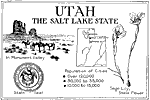
Utah, the Salt Lake State, 1921
A sketch map from 1921 of Utah, showing its capital, Salt Lake City, and surrounding cities Ogden and Provo City. It gives the populations of the cities shown. It also shows some of the inland waters including the Grand River and Secter Lake. It also...

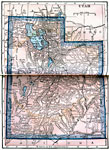
Utah, 1922
A map from 1922 of Utah showing the capital at Salt Lake City, principal cities and towns, Indian reservations, railroads, mountains, lakes, rivers, and the Great Salt Lake Desert region to the west of Salt Lake....

First Previous


  Maps > United States > Utah
Site Map  

Maps ETC is a part of the Educational Technology Clearinghouse
Produced by the Florida Center for Instructional Technology © 2009
College of Education, University of South Florida