|
|
|
| Maps > United States > Vermont |
A collection of historic and contemporary political and physical maps of Vermont, including automobile route maps, for use in the K-12 classroom.
|
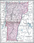
Vermont,
1906 |
|
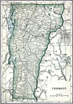
Vermont,
1909 |
|
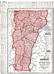
Vermont,
1912 |
|
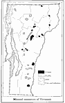
Mineral Resources of Vermont,
1916 |
|
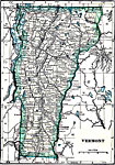
Vermont,
1919 |
|
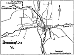
Bennington,
1919 |
|
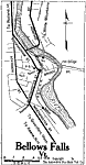
Bellows Falls,
1919 |
|
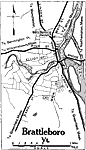
Brattleboro,
1919 |
|
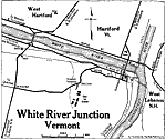
White River Junction,
1919 |
|
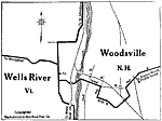
Wells River,
1919 |
| Next | Last |
| Maps > United States > Vermont |
Maps ETC is a part of the Educational Technology Clearinghouse
Produced by the Florida Center for Instructional Technology © 2009
College of Education, University of South Florida