|
|
|
| Maps > United States > Virginia |
A collection of historic and contemporary political and physical maps of Virginia, including early exploration and settlement maps, Revolutionary War maps, and American Civil War maps.
|
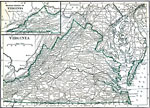
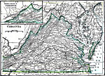
Virginia,
1909 |
|
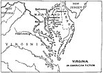
Virginia in American Fiction,
1911 |
|
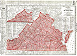
Virginia,
1912 |
|
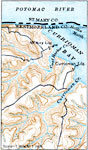
Section of the Virginia Coast,
1916 |
|
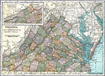
Virginia,
1919 |
|
Virginia,
1920 |
|
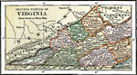
Western Part of Virginia,
1920 |
|
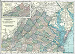
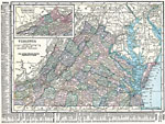
Virginia,
1920 |
|
Virginia,
1920 |
|
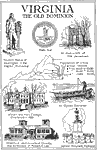
Virginia the Old Dominion,
1921 |
| First | Previous | Next | Last |
| Maps > United States > Virginia |
Maps ETC is a part of the Educational Technology Clearinghouse
Produced by the Florida Center for Instructional Technology © 2009
College of Education, University of South Florida