|
|
|
| Maps > United States > West Virginia |
A collection of historic and contemporary political and physical maps of West Virginia for use in the K-12 classroom.
|
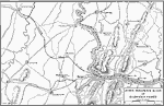
Raid at Harper's Ferry,
1859 |
|
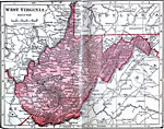
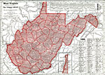
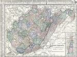
West Virginia,
1906 |
|
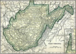
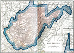
West Virginia,
1909 |
|
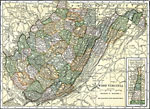
West Virginia,
1910 |
|
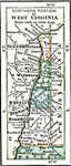
Northern West Virginia,
1910 |
|
West Virginia,
1912 |
|
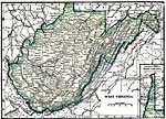
West Virginia,
1919 |
|
West Virginia,
1920 |
|
West Virginia,
1920 |
|
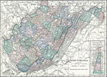
West Virginia,
1922 |
| Maps > United States > West Virginia |
Maps ETC is a part of the Educational Technology Clearinghouse
Produced by the Florida Center for Instructional Technology © 2009
College of Education, University of South Florida