|
|
|
| Maps > United States > Wisconsin |
A collection of historic and contemporary political and physical maps of Wisconsin, including city plans, geomorphic, and glacial maps, for use in the K-12 classroom.
|
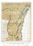
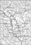
The Green Bay Loop of The Terminal Moraine ,
1882 |
|
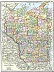
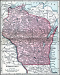
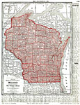
Wisconsin,
1892 |
|
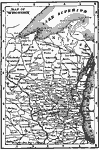
Wisconsin,
1902 |
|
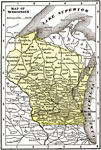
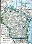
Wisconsin,
1904 |
|
Wisconsin,
1906 |
|
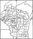
Wisconsin,
1909 |
|
Wisconsin Drift,
1911 |
|
Wisconsin Ice Lobes,
1911 |
|
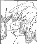
Driftless Area of Wisconsin,
1911 |
|
Wisconsin,
1912 |
| Next | Last |
| Maps > United States > Wisconsin |
Maps ETC is a part of the Educational Technology Clearinghouse
Produced by the Florida Center for Instructional Technology © 2009
College of Education, University of South Florida