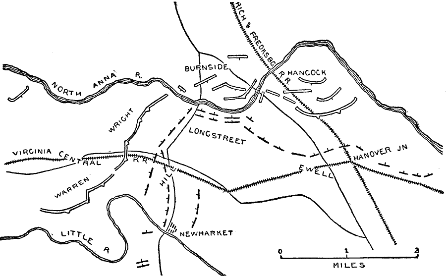
Description: The region near the North Anna river, site of the Battle of North Anna. Map shows May 23–26, 1864.
Place Names: Civil War, Newmarket, Richmond And Fredericksburg Railroad, North Anna River, Virginia Central Railroad, Little River, Hanover Junctio
ISO Topic Categories: inlandWaters,
location,
transportation
Keywords: North Anna, physical, �political, �historical, �transportation, �american civil war, �longstreet, hancock, warren, wright, burnside, ewell, kBattle, physical features, railroads,
roads, Civil War, inlandWaters,
location,
transportation, Unknown, May 1864
Source: Theodore Ayrault Dodge, A Bird's-Eye View of our Civil War (Boston, MA: Houghton, Mifflin and Company, 1897) 214
Map Credit: Courtesy the private collection of Roy Winkelman |
|