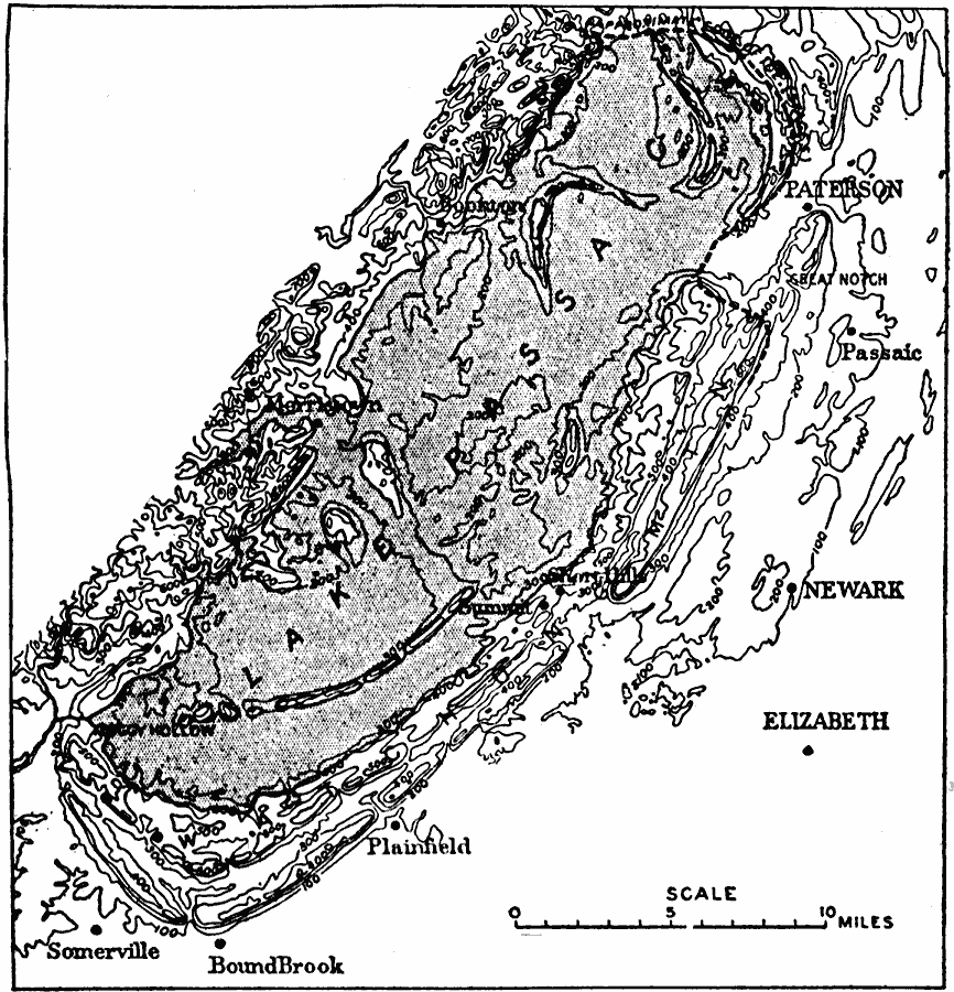
Description: The maximum stage of Lake Passaic. All outlets except that at Moggy Hollow were either blocked by ice or filled with drift.
Place Names: New Jersey, Newark, �Passaic, �Paterson, �Elizabeth, �Somervill
ISO Topic Categories: boundaries,
inlandWaters,
location,
geoscientificInformation
Keywords: Maximum Stage of Lake Passiac, physical, kGlacial, physical features,
geological, boundaries,
inlandWaters,
location,
geoscientificInformation, Unknown,
Source: Isaiah Bowman, Ph. D, Forest Physiography (New York, NY: John Wiley and Sons, 1911) 601
Map Credit: Courtesy the private collection of Roy Winkelman |
|