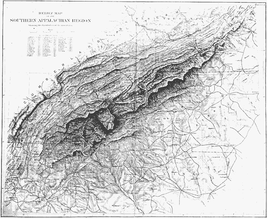
Description: A relief map from 1911 of the Southern Appalachian region showing the terrain features from the Cumberland Plateau in the west to the Atlantic Coastal Plain. The map shows mountain and river systems, and includes major cities and railroads of the region.
Place Names: Eastern States, Atlanta, �Marietta, �Troy, �Chesterfield, �Columbia, �Appalachian Mountains, �Atlantic Ocea
ISO Topic Categories: boundaries,
inlandWaters,
location
Keywords: Southern Appalachians, political, �physical, kRelief, physical features, major political subdivisions,
local jurisdictions, boundaries,
inlandWaters,
location, Unknown, 1911
Source: Isaiah Bowman, Ph. D, Forest Physiography (New York, NY: John Wiley and Sons, 1911) 604
Map Credit: Courtesy the private collection of Roy Winkelman |
|