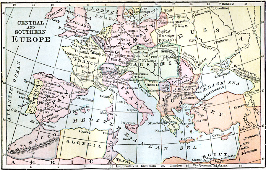
Description: A map from 1889 of Central and Southern Europe showing the extent of Germany, France, Austria, and the Ottoman Turks at the time.
Place Names: Western and Central Europe, France, �Spain, �Portugal, �Italy, �Germany, �United Kingdom, �Turkey, �Austria, �Greec
ISO Topic Categories: boundaries,
inlandWaters,
location,
oceans
Keywords: Central and Southern Europe, physical, �political, physical features, country borders, boundaries,
inlandWaters,
location,
oceans, Unknown, 1889
Source: John J. Anderson, Ph.D., A School History of England (New York, NY: Effingham Maynard and Co., 1889) 220
Map Credit: Courtesy the private collection of Roy Winkelman |
|