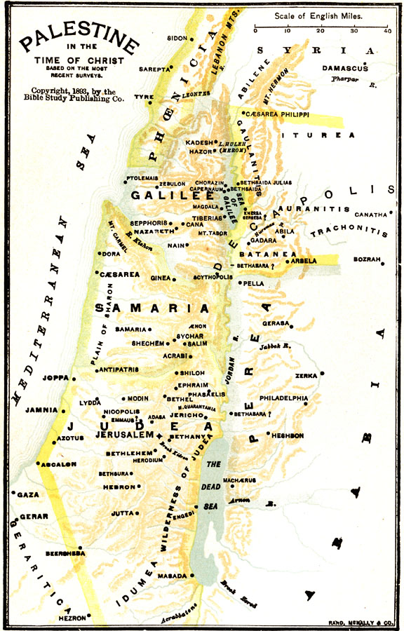
Description: A map of Palestine in the time of Christ. The map shows the territories of Judea, Samaria, Perea, Galilee, Decapolis, Phoenicia, Arabia, and Syria, principal cities, lakes, rivers, and coastal features in the region.
Place Names: A Regional Map of Asia, Mediterranean Sea, �Phoenicia, �Syria, �Galilee, �Decapolis, �Arabia, �Perea, �Samaria, �Judea, �Damascus, �Lebanon Mts., �Nazareth, �Cana, �Tiberias, �Sea of Galilee, �Philadelphia, �Dead Sea, �Jerusalem, �Jerico, �Bethlehem, �Emmaus, �Joppa, �Jamnia,
ISO Topic Categories: boundaries,
inlandWaters,
location
Keywords: Palestine in the Time of Christ, physical, �political, physical features, country borders, boundaries,
inlandWaters,
location, Unknown, 1–35 CE
Source: William Walter Smith, The Students' Illustrated Historical Geography of the Holy Land (Philadelphia, PA: The Sunday School Times Company, 1911) 65
Map Credit: Courtesy the private collection of Roy Winkelman |
|