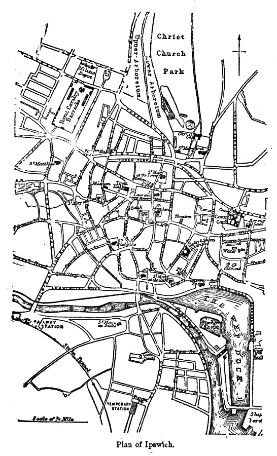
Description: A plan for city of Ipswich in Suffolk, England from 1903, showing roads, railway and railway station, the River Orwell and docks, churches, and municipal buildings.
Place Names: United Kingdom, Ipswich, �River Orwell, �Suffol
ISO Topic Categories: oceans,
location,
inlandWaters
Keywords: Plan of Ipswich, physical, �political, �transportation, county borders, roads, oceans,
location,
inlandWaters, Unknown, 1903
Source: Spencer Baynes, LL.D., and W. Robertson Smith, LL.D., eds., The Encyclopedia Britannica vol. 13 (New York, NY: The Werner Company, 1903)
Map Credit: Courtesy the private collection of Roy Winkelman |
|